
Meet in the small car park on the right on the A6 (travelling North on the A6) on Garstang road, Bilsborrow PR3 0RE at 9.30 a.m. Sunday 2nd August. This car park is situated just after the left turn into St Michaels Road (Guy’s Thatched Hamlet) and just before the Right turn into Bilsborrow Lane (The Roebuck and the Premier Inn).
Maximum permitted number is 6 participants to comply with current guidelines. If you add your name to the list over the 6 you will move up a place if someone drops out, but only the first 6 should attend on the day.
The Route is as below and the plan is for lunch to be taken at the Half Moon Bay Cafe. This is a new route and I have not ridden it before but have scouted it out. No major climbs,
Total Distance 54 miles
NO ONE will be left behind
- Distance Instructions
- Distance 54 miles
- Time 4 h 54 min
- Speed 11 mph
- Min altitude 3 ft
- Peak 230 ft
- Ascend 1247 ft
- Descent 1247 ft
Starting from the small car park on the right on the A6 (travelling North on the A6) on Garstang road, Bilsborrow PR3 0RE. What3Words///wooden.crash.soups. This car park is situated just after the left turn into St Michaels Road (Guy’s Thatched Hamlet) and just before the Right turn into Bilsborrow Lane (The Roebuck and the Premier Inn).
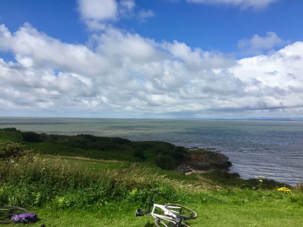
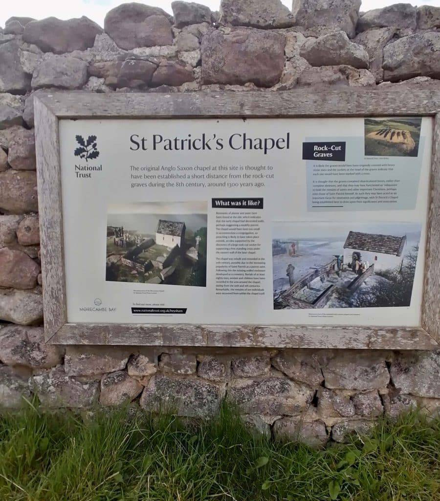
The route goes north following the NCN 6, criss-crossing the M6 to Bay Horse, Galgate and Condor Green to join the Bay Cycleway to Lancaster and then a section of the Way of the Roses to join the southern half of Morecambe Bay Promenade. Then following the promenade to Heysham Village and Half moon Bay.
Return is by a more southerly route across the Heysham Peninsular to re-join a short section of the Bay Cycleway and to traverse Lancaster before a section of the Lancaster Canal towpath. Following this join the main road south back to Condor Green, then through Cockerham and Garstang back to Bilsborrow.
Total Distance is 54 Miles. No major climbs.

1. Start
2. End
PARTICIPANTS:


Upcoming Rides:


Lees Lane and Sollom
- Distance 39 miles
- Time 3 h 40 min
- Speed 11 mph
- Min altitude 10 ft
- Peak 440 ft
- Ascend 1079 ft
- Descent 1079 ft