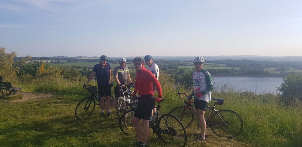
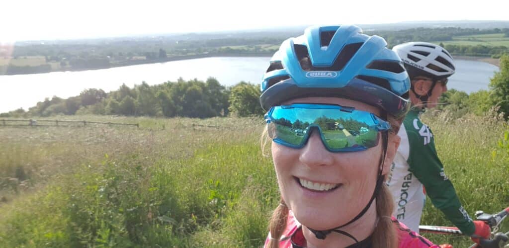
Meet at Astley Park Gates, Chorley at 6 p.m. on Thursday 25th August. Route and parking details below. Please bring the usual emergency tools and puncture repair equipment. Daytime running or emergency lights are a good idea.
Total distance is 19 miles. NO ONE will be left behind.
- Distance Instructions
- Distance 20 miles
- Time 2 h 0 min
- Speed 10 mph
- Min altitude 43 ft
- Peak 781 ft
- Ascend 1148 ft
- Descent 1148 ft
Leaving from Astley Park gates, Chorley PR7 1JU.
Car Parking is conveniently located on Queens Road car park, PR7 1JU. This is next to the park gates. Turn right immediately after the park gates when entering Chorley from the Preston direction or M61 junction 8. Parking should be free after 5 p.m. and all day on Sunday.
The route goes clockwise and passes up Harpers Lane to Botany Brow, then White Coppice before climbing up Moor Road to the Anglezarke viewpoint. Dropping down to the Bay Horse, then Adlington, Heath Charnock, Coppull Moor and Welch Whittle before arriving in Charnock Richard. The return is back into Chorley via the Gillibrand Estate. The climb to the viewpoint is demanding, the rest of the route less so.
Total distance is 20 miles.