
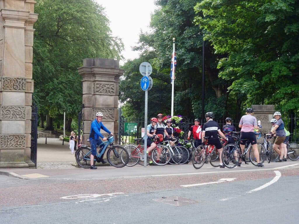
Meet at Astley Park Gates, Park Road, Chorley PR7 1JU at 6.15 p.m. Wednesday 29th July. Free Parking at the adjacent Queens Street Car Park.
Route as below. No stops, just breathers. Emergency lights suggested but we should be back before lighting up time.
Emergency contact for last minute problems 07708 252168.
The Maximum number of participants is 6. Anyone registering over the 6 will move up a place if a rider drops out but please do not attend if there are 6 people before you.
- Distance Instructions
- Distance 23 miles
- Time 1 h 55 min
- Speed 12 mph
- Min altitude 23 ft
- Peak 505 ft
- Ascend 1309 ft
- Descent 1332 ft
Leaving from Astley Park gates, Chorley PR7 1JU
Car Parking is conveniently located on Queens Road car park, PR7 1JU. This is next to the park gates. Turn right immediately after the park gates when entering Chorley from the Preston direction or M61 junction 8. Parking should be free after 5 p.m. weekdays and Saturdays and all day Sunday.
The route passes down to Botany Bay, through Heapey and Brindle to Gregson Lane and Higher Walton to just skirt the Ribble at Walton-le-Dale. This route avoids all the current (2020) excavation and bridge closure adjacent to Avenham Park. Subsequent route is via Penwortham Lane, White Stake, Cuerden, Leyland and Buckshaw Village to Astley Park.
Total distance 23 miles
1. Start
2. End
PARTICIPANTS:


Upcoming Rides:


Lees Lane and Sollom
- Distance 39 miles
- Time 3 h 40 min
- Speed 11 mph
- Min altitude 10 ft
- Peak 440 ft
- Ascend 1079 ft
- Descent 1079 ft