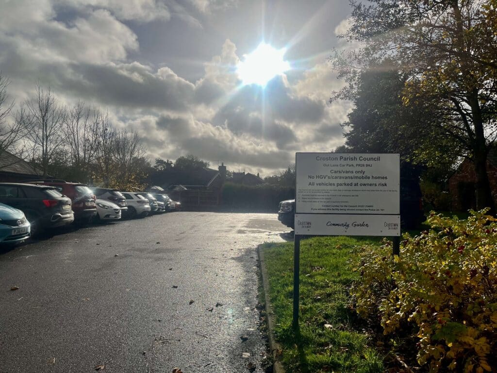
Meet in Out Lane Car Park, Croston PR26 9HJ on Sunday 13th November at 9.30 a.m. Route and parking details below.
Please bring the usual puncture repair equipment and emergency tools. Emergency or daytime running lights are also recommended. Cash/card if you require lunch.
There are two options for lunch, at 21 or 35 miles, to be decided.
*We recommend all participants carry emergency contact details about their person*
Total distance is 49 miles. NO ONE will be left behind.
- Distance Instructions
- Distance 49 miles
- Time 4 h 30 min
- Speed 11 mph
- Min altitude 30 ft
- Peak 577 ft
- Ascend 2001 ft
- Descent 2001 ft
Start is from the Out Lane car park in Croston PR26 9HJ. Out lane is a turn off the main road through the Village, between the Wheatsheaf and Lord Nelson Public Houses. The car park is on the right adjacent to the Croston Village Surgery. The route passes South along Grape Lane, then taking an anti-clockwise direction along Bluestone Lane to Parbold before going along Cobbs Brow Lane and Beacon Lane for the climb up to Ashurst Beacon. The route then drops towards Pimbo and Crank reaching the East Lancs Road at Windle. You then go East along the cycle path for a short distance before turning south again into St Helens town. St Helens is crossed using some roads, cycle lanes and cycle paths continuing South to enter Sherdley Park via the Score bridge. Passing through the park continuing into Sutton Manor Woodland where you can view The Dream statue. The Return is North by a more Easterly route through more streets and cycle paths and greenways before re-crossing the East Lancs Road to Carr Mill Dam. There is a detour you can take before then along Park Road to take in the Park Road Cafe at 35 miles. Passing Carr Mill Dam is unfortunately on a section of the A571 into Billinge, thence to Upholland and Roby Mill followed by the steep descent into Appley Bridge. The final leg is via Shevington Vale and Tunley Lane eventually re-joining Grape Lane back into Croston.
Total distance is 49 miles.