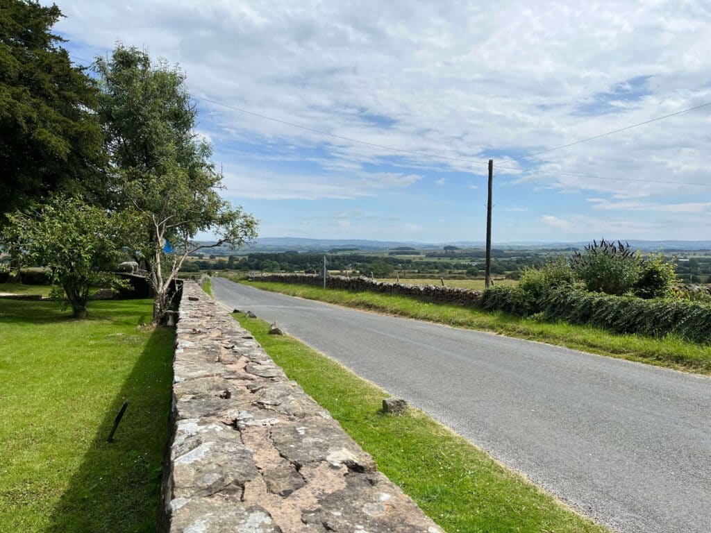
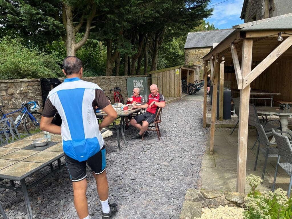
Meet at 9.30 a.m. at Billington War Memorial, Billington, Whalley BB7 9JA on Sunday 25th September. Route and parking details as below. Please bring the usual emergency tools and puncture repair equipment. Lunch will be taken at The Old Vicarage Tearoom in Tosside. This is a hilly route but an opportunity to arrive at Tosside from the gentler side.
Total distance is 43 miles. NO ONE will be left behind.
*We recommend all participants carry emergency contact details about their person.*
PLEASE NOTE: THE CAFE IS CASH ONLY, however, you can do a bank transfer for your bill if necessary (The Old Vicarage Tea Room, acc. 14752018, sort. 01-00-85)
- Distance Instructions
- Distance 43 miles
- Time 4 h 20 min
- Speed 10 mph
- Min altitude 138 ft
- Peak 906 ft
- Ascend 2297 ft
- Descent 2297 ft
Start at Billington War Memorial. Adjacent parking is available outside St.Augustines High School, Elker Lane, BB7 9JA, (What3words///mend.leads.land), at Weekends and during School holidays.
The route goes anti-clockwise into Whalley, then through Wiswell, Pendleton, Worston and Downham. Crossing into Chatburn and Grindleton to Bolton-by Bowland; there follows the gentle climb up Forest Becks Brow towards Wigglesworth. At the end of the road turn left for the further ascent to Tosside, where there is an excellent cafe. The return route continues along the main B road to turn left over Anna Lanes Head, descending into Holden then returning via Sawley, Chatburn again, West Bradford, Waddington, Bashall Town and Great Mitton, returning to Whalley.
Total Distance is 43 miles.