- Distance Instructions
- Distance 76 miles
- Time 6 h 54 min
- Speed 11 mph
- Min altitude 3 ft
- Peak 545 ft
- Ascend 2585 ft
- Descent 2585 ft
Similar to Liverpool Parks and Waterfront but increased to meet the 75 mile Gran Fondo distance.
Leaving from Astley Park gates, Chorley PR7 1JU
Car Parking is conveniently located on Queens Road car park, PR7 1JU. This is next to the park gates. Turn right immediately after the park gates when entering Chorley from the Preston direction or M61 junction 8. Parking should be free on Sundays but there would be a charge in the daytime other days. There is an alternative car park for Astley Hall on the other side of the park on Hallgate PR7 1NP. This is always free. There are toilets at this entrance but only between 9 a.m. and 4 p.m.
The route passes through Charnock Richard, Wrightington, Shevington and Gathurst following minor roads to Windle and Knowsley. We go through Croxteth, Newsham and Sefton Parks to Aigburth and Otterspool Park. There is a cafe in the centre of Sefton Park.
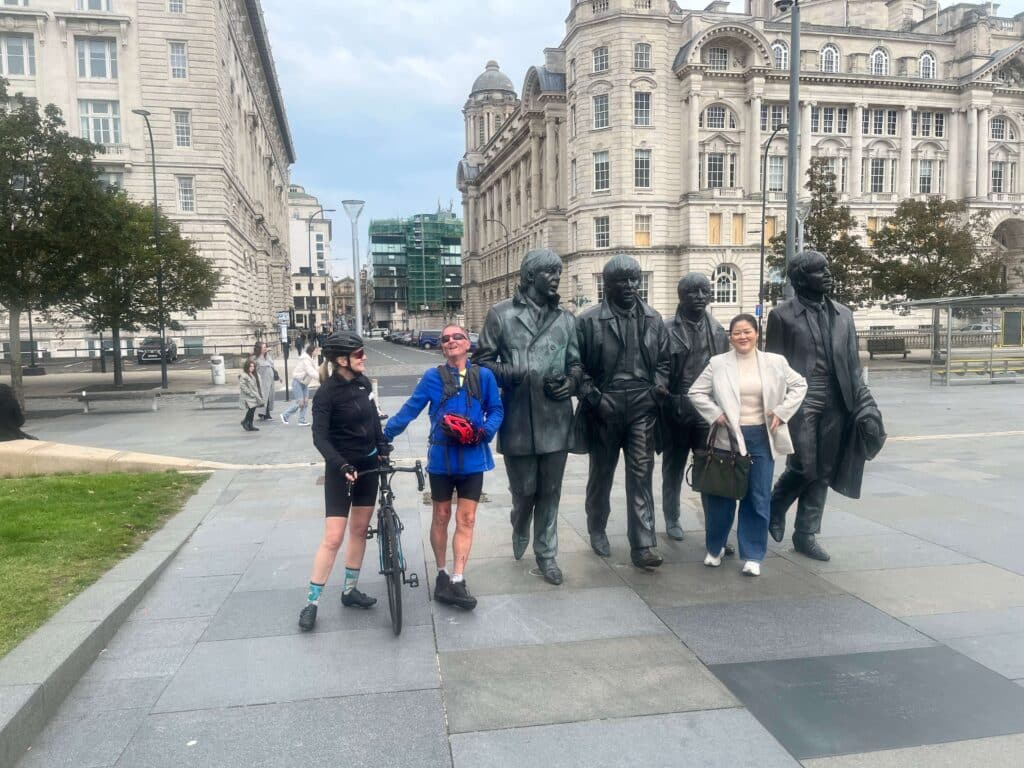
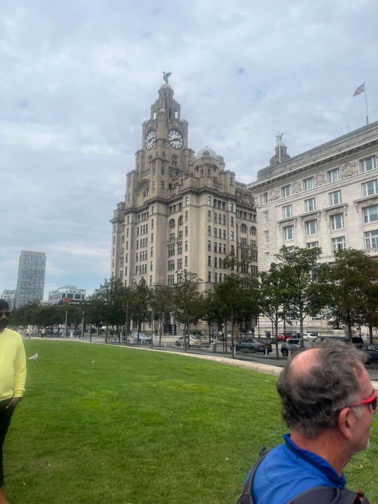
The return leg is quite flat and passes along Otterspool Promenade and the historic Liverpool Waterfront including the Albert Dock, all this being part of the Trans-Pennine Trail. There follows the equally historic Dock road; where the famous long demolished overhead railway has been replaced by a cycle path; to Bank Hall, then Aintree and Melling. Then passing Aintree racecourse and taking minor roads to Bickerstaff, Newburgh and Eccleston returning to Chorley via Euxton.
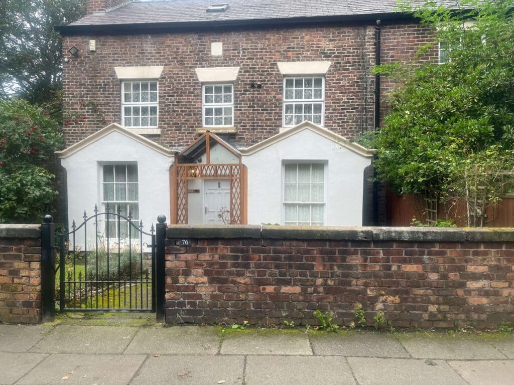
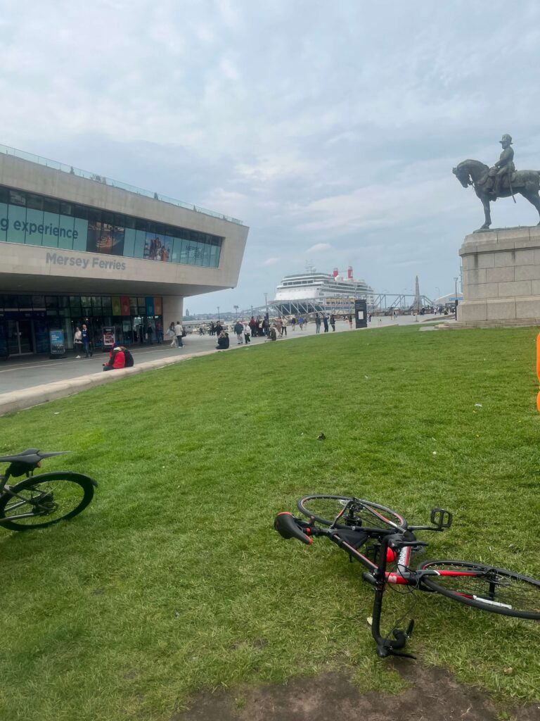
The route also includes Brookside Close, Ken Dodd's former home and the possibility of a cruise liner at the Pier Head.
No major climbs, the outward leg having some non-challenging hills only. The return leg is flatter. The route is labelled as Advanced because of the distance