- Distance Instructions
- Distance 101 miles
- Time 9 h 0 min
- Speed 12 mph
- Min altitude 0 ft
- Peak 551 ft
- Ascend 2605 ft
- Descent 2595 ft
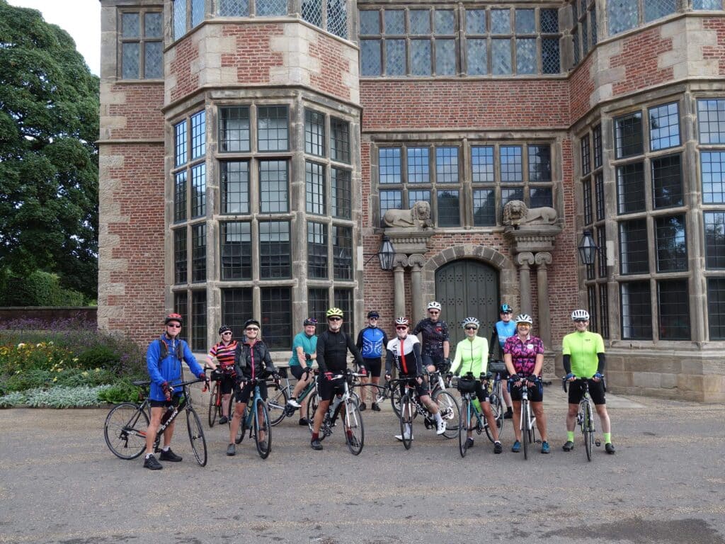
Start in front of Astley Hall, Chorley PR7 1XA (What3words///slap.cake.audio) There is a Car Park, which is on Hallgate in Astley Village PR7 1NP (What3words///slowly.hands.defend). This is a fairly large car park but there is an all day charge of £3 every day. There is an alternative car park on Queens Road on the other side of the park by the main gates,PR7 1JU (What3words///newest.cooks.stuck). This is free on Sundays. All car parks in Chorley are pay and display, though most are free on Sundays. There are toilets at Astley Hall but these may not be open until 9 a.m.
The route passes along Union St. past the council offices, crossing the by-pass by McDonald’s to turn right through the car park. Then under the railway bridge and straight up Brown St. to the top where you will have to pass through the bollards to turn right onto Eaves Lane. From here the route goes up Cowling Brow, along Long and Back Lanes, skirting the reservoir to Horrobin Lane and Grimeford Village. From here is Grimeford Lane, Dark Lane, Little Scotland, Blundell Lane and Arley Lane, which passes Wigan golf course. The route then briefly joins Chorley Rd. then Rectory Lane through Standish, taking the old Mineral Line cycle (and walking) path to Old Pepper Lane and Pepper Lane before crossing the M6 to Mossy Lea Rd. and Back Lane to Appley Bridge. From Appley Bridge we follow Miles Lane to Shevington and Gathurst Lane to Gathurst, then Orrel Post. Cross the junction taking St James Rd. through Billinge, turning right up the Crank Rd., descending to take Pimbo Rd. and Lane, left onto Long Lane then Crawford Rd. taking a short section of the Rainford linear Park before diverting back along the Rainford bypass cycle lane. Here is a potential cafe stop at Inglenook Farm (27 miles).
The route then heads towards Maghull via Lodge lane and Bickerstaffe, taking the cycle paths on the Prescot Road to gross the M58 roundabout to Maghull Lane, Park Lane then through Maghull to Dodds Lane. From here we cross Northway to Green Lane, turning left onto a section of the Trans-Pennine Trail to Sefton Village from where we eventually turn left off the main road to enter Rimrose Valley Park. The path through the park exits into the streets of Waterloo and down towards the Marina and the second potential cafe stop at The Waterloo Sunset Cafe (42 miles). If you only require the toilet at this point there are some at the Marina, unless you are stopping at the cafe.
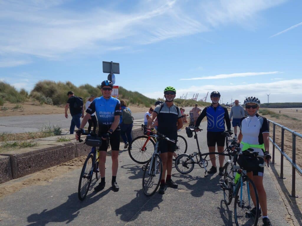
The route continues turning right from the cafe to follow NCN route 81 along the coast, passing the Gormley Statues. The route avoids the first section which is usually obstructed by sand drifts. The path eventually passes through Hightown to end in Formby. We continue to Freshfield (of Red Squirrel fame) turning right into Victoria Rd. and pass 2 potential cafe stops in Freshfield (50 miles).
Leaving Freshfield, taking in some back roads to cross the Formby By-pass roundabout to join the Southport Old Rd. then the cycle path along a short section of the by-pass and then the Coastal Rd. before turning right through the back roads of Ainsdale to pass Mecycle Cafe by the station (55 miles). Continuing on we do a circle around Ainsdale to re-join a section of the Trans-Pennine trail in the opposite direction to join Plex Moss Lane across to Clieves Hills, then heading North continuing along Renacres Lane towards Southport via Shirdley Hill, Blowick, passing along Portland St. into Southport (72 miles). Crossing Lord St. before turning right onto the Promenade you will pass a pay toilet on the left before reaching Silcocks fish and chip Restaurant, after which turn left and pass over the Millennium Bridge onto the seafront turning right where there is the coastal cycle path to Crossens. There are several potential food and toilet stops in Southport. At the roundabout at Crossens take the left turn on to the Preston Road, soon coming off this towards Banks, Taking the Marsh and Shore Roads to Hesketh Bank and Becconsall. Then take Station Rd. to Tarleton before crossing Southport New Rd. to join the NCN 91 at Mere Brow. Just past the turn off down Green lane there is an accessible toilet on the side of Holmeswood Methodist Church (86 miles) Follow Green Lane to Sollom and Croston, taking Grape Lane, then Sydbrook Lane to Eccleston, then Back Lane to Euxton, returning to Astley Park via Balshaw Lane
Total distance should be 101 miles.