- Distance Instructions
- Distance 64 miles
- Time 5 h 20 min
- Speed 12 mph
- Min altitude 7 ft
- Peak 512 ft
- Ascend 2100 ft
- Descent 2100 ft
Leaving from Astley Park gates, Chorley PR7 1JU
Car Parking is conveniently located on Queens Road car park, PR7 1JU. This is next to the park gates. Turn right immediately after the park gates when entering Chorley from the Preston direction or M61 junction 8. Parking should be free on Sundays but there would be a charge in the daytime other days.
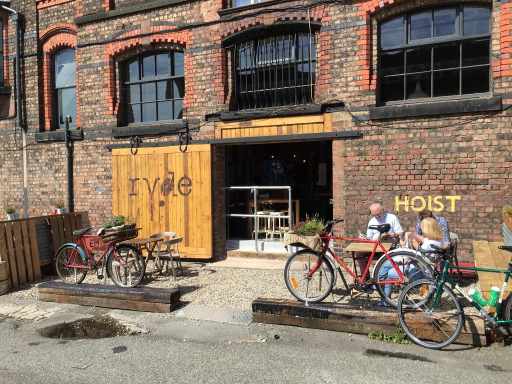
The route passes through Charnock Richard, Wrightington, Shevington and Gathurst following minor roads to Windle and Knowsley. We go through Croxteth and Newsham Parks to the regenerated Toxteth and would normally take lunch at the Ryde Cafe in the old Cains Brewery. (*N.B. Ryde cafe is now closed on Sundays).
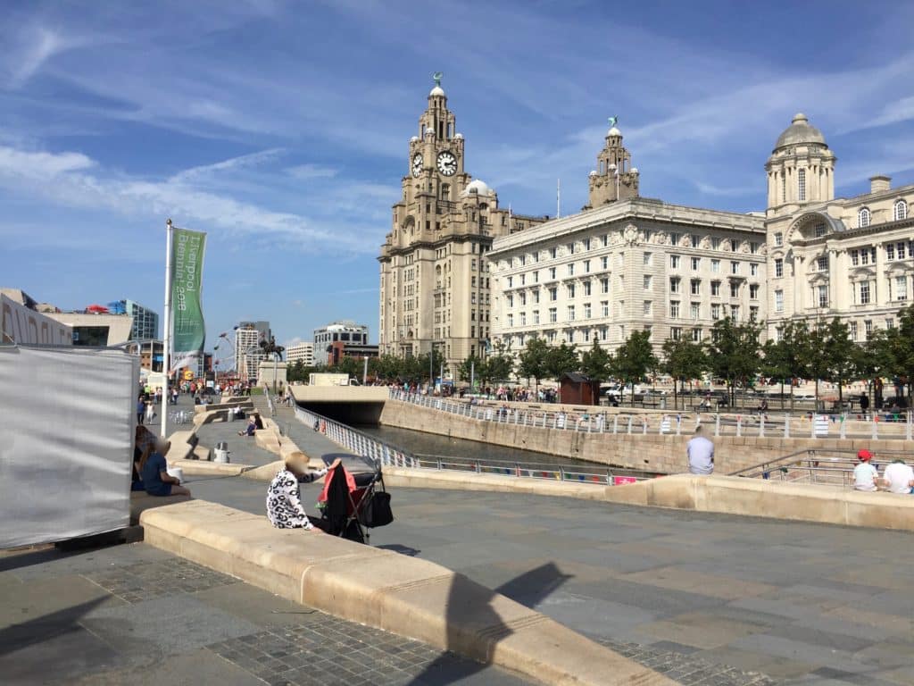
The return leg is quite flat and passes along the historic waterfront and the equally historic Dock road to Bank Hall then Aintree and Melling. Passing the racecourse and taking minor roads to Bickerstaff, Newburgh and Eccleston returning to Chorley via Euxton.
No major climbs, the outward leg having some non-challenging hills only. The return leg is flatter. The route is labelled as Advanced merely because of the distance.
Total distance 64 miles