
- Distance Instructions
Label
- Distance 56 miles
- Time 7 h 0 min
- Speed 9 mph
- Min altitude 135 ft
- Peak 1381 ft
- Ascend 4327 ft
- Descent 4327 ft
Meet at Billington War Memorial. Adjacent parking is available outside St.Augustines High School, Elker Lane, BB7 9JA, when the school is closed.
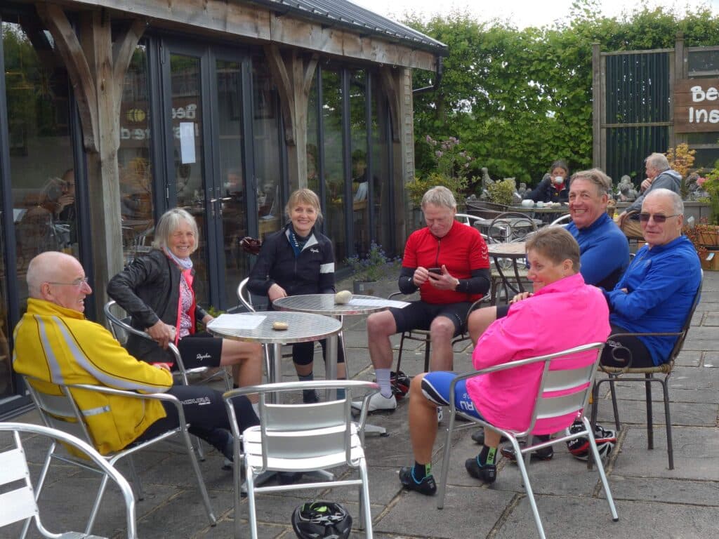
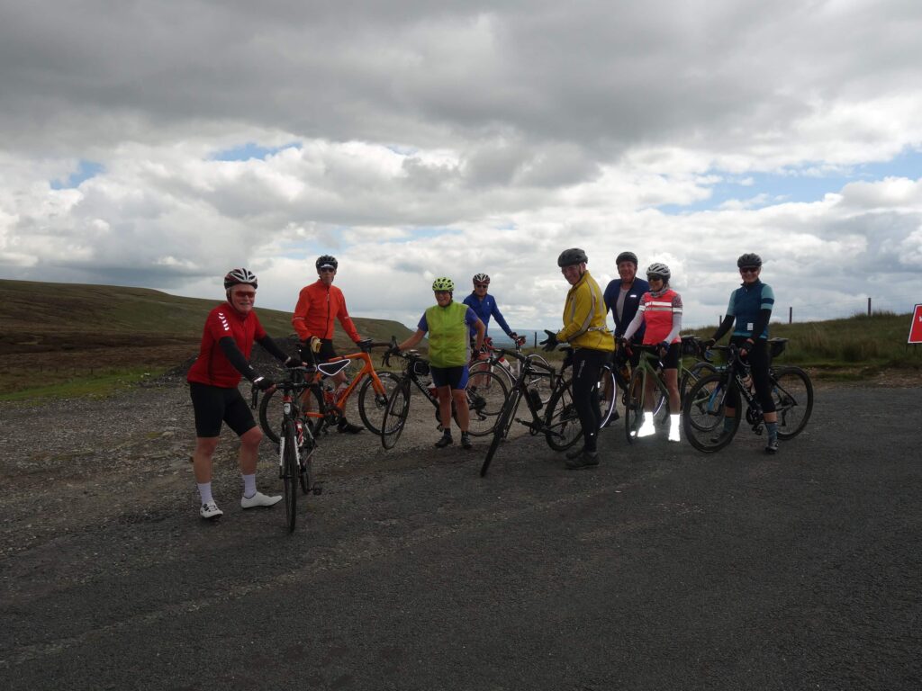
Route passes through Whalley to Bashall Eaves, Cow Ark, Newton then Slaidburn. There follows the climb over the Cross of Greet as far as Mewith Lane which we follow through Eldroth as far as Giggleswick Station, joining the A65 briefly before turning back south to Rathmell, Wigglesworth and Bolton by Bowland. Return is via Sawley, Grindleton, Waddington and the Edisford road to re-join the Mitton road back to Whalley.
Total distance will be 58.5 miles.
1. Start: Billington War Memorial
Altitude: 0 ft
Address:
BB7 9JA
2. End: Billington War Memorial
Altitude: 0 ft
Address:
BB7 9JA