
- Distance Instructions
Label
- Distance 50 miles
- Time 4 h 58 min
- Speed 10 mph
- Min altitude 62 ft
- Peak 971 ft
- Ascend 2887 ft
- Descent 2900 ft
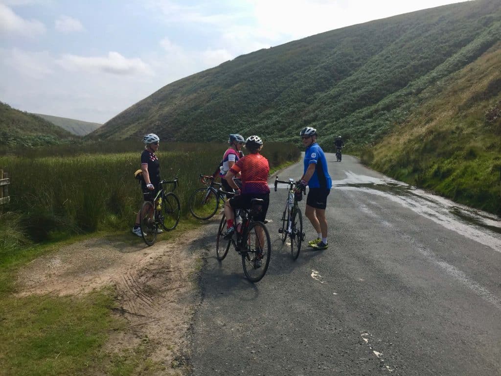
The Trough of Bowland must be one of the best routes anywhere
Meet at Billington War Memorial. Adjacent parking is available outside St.Augustines High School, Elker Lane, BB7 9JA, at Weekends and during School holidays.
Route is via Ribchester, Longridge and Inglewhite with an early food stop in Scorton.
From here we climb up to Marshaw then through the Trough to Dunsop Bridge for a cake stop before returning via Whitewell, Cowark, Great Mitton and Whalley.
Total distance is 50 miles.

1. Start
Altitude: 0 ft
Address:
BB7 9JA
Billington War Memorial
2. End
Altitude: 0 ft
Address:
BB7 9JA
Billington War Memorial